


special fearure・column
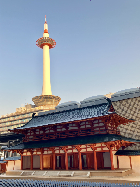
Did Everyone Know? Kyoto’s Grid Pattern
== The Changing “Grid Pattern” ==
♪Marutake Ebisu, Oshioike~ ♪ Have you heard this song?
These are all names of streets in Kyoto, made into a song to make them easier to remember.
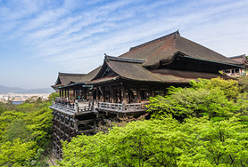
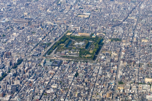
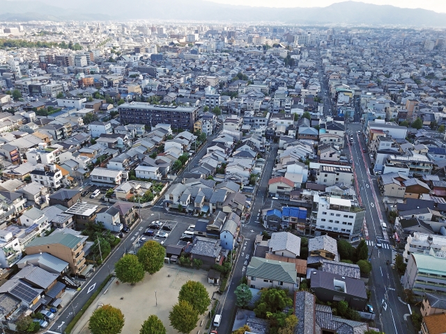
As shown in the photo, Kyoto is shaped like a grid, known as the “goban-no-me” (a grid pattern like a Go board).
Almost every street has a name, and it may seem complicated at first,
but once you remember the street names, it's easy to reach popular tourist spots.
Heian-kyo
The Beginning of the “Grid Pattern”
The origin of Kyoto's inner “grid pattern” dates back to the year 794, when the capital city of Heian-kyo was built.
“Jōbō-sei” was a city planning system modeled after Chang'an of the Tang Dynasty.
A central north-south road called Suzaku-oji was placed, with east-west roads (named “jō”, divided into four blocks) and north-south roads (named “bō”, also divided into four blocks).
To the north of Ichijō, there was also a northernmost block called “Hokuhen” made up of eight towns, arranged in a grid-like layout.
At the southern end stood Rajōmon, the capital’s main gate, while the northern end connected to Heian Palace, which included the Imperial Palace and Daigokuden Hall.
With Suzaku-oji as the central axis, the city was divided symmetrically into Left Capital (east) and Right Capital (west).
The grid layout at that time measured approximately 4.5 km east-west and 5.2 km north-south, covering an area of 23.4 square kilometers, corresponding roughly to the area between today’s Teramachi-dori and Katsunoo-ōji, and from Ichijō-dori to Kujō-dori.
Muromachi Period
Square-shaped Town Blocks Were Created
During the Muromachi period, aristocratic residences were large, covering over one town block, while commoners' residences were surrounded by streets on all four sides.
Each square block, about 120 meters per side, was divided into four east-west sections and eight north-south sections, containing 32 households.
Houses facing the streets had easy access to roads, but inner residences could only be accessed by smaller paths (alleys), not main roads.
The inner parts of the blocks, not facing streets, became vacant lots and were rarely used.
However, as commerce developed, more buildings were constructed to face the roads, and districts on both sides of the street formed a single “town” called “ryōgawa-machi”.
Unlike the Heian-kyo period where aristocratic and official residences were more important, it became more advantageous to be located along the street.
Sengoku Period
Under Hideyoshi’s Reforms, Towns Became Rectangular
In 1590 (Tensho 18), Toyotomi Hideyoshi made major changes to Kyoto's town divisions.
This land redivision covered from Teramachi-dori in the east to Omiya-dori in the west, and from Marutamachi-dori in the north to near Gojō-dori in the south, where new roads were laid.
The newly created paths made more efficient use of land and increased the number of alleys.
The town blocks, originally square-shaped (about 120m x 120m), were re-divided into rectangular blocks measuring 120m north-south and 60m east-west.
Thus, new “towns” were created in previously vacant areas.
These shapes still remain today and make up Kyoto’s current grid pattern.
In contrast, the area around Shijō-Karasuma (central Shimogyō area) had already been fully developed, so no new roads were added there, and square block divisions from the Heian-kyo era remain in that district.
Edo Period
Almost Every Street Got a “Dori” (Street) Name
The use of the word “dori” to refer to streets started around the end of the Sengoku period.
During the Azuchi-Momoyama period (Toyotomi era), many of today’s street names came into use and gradually became established in early modern times.
During the Edo period, development expanded west of the Kamo River along Kawaramachi-dori and Kiyamachi-dori, and on the east side (called Kamoto).
From the Meiji through Taisho periods, Karasuma-dori, Senbon-dori, Omiya-dori, Higashioji-dori, Marutamachi-dori, Shijō-dori, and Shichijō-dori were widened.
Afterward, streets like Kitaōji-dori, Nishioji-dori, Kujō-dori, and Higashioji-dori were also expanded as city perimeter roads, and urban street planning around the city progressed with land reallocation projects.
During WWII, buildings were forcibly cleared to create firebreaks.
Streets like Takatsuji-dori and Chiekōin-dori were turned into fire lanes, and major firebreaks were created along Oike-dori, Gojō-dori, and Horikawa-dori, leading to post-war road widening.
This is how the Kyoto grid we see today was created.
So how do the people of Kyoto remember all this?
Here’s how locals remember Kyoto’s famously long addresses.
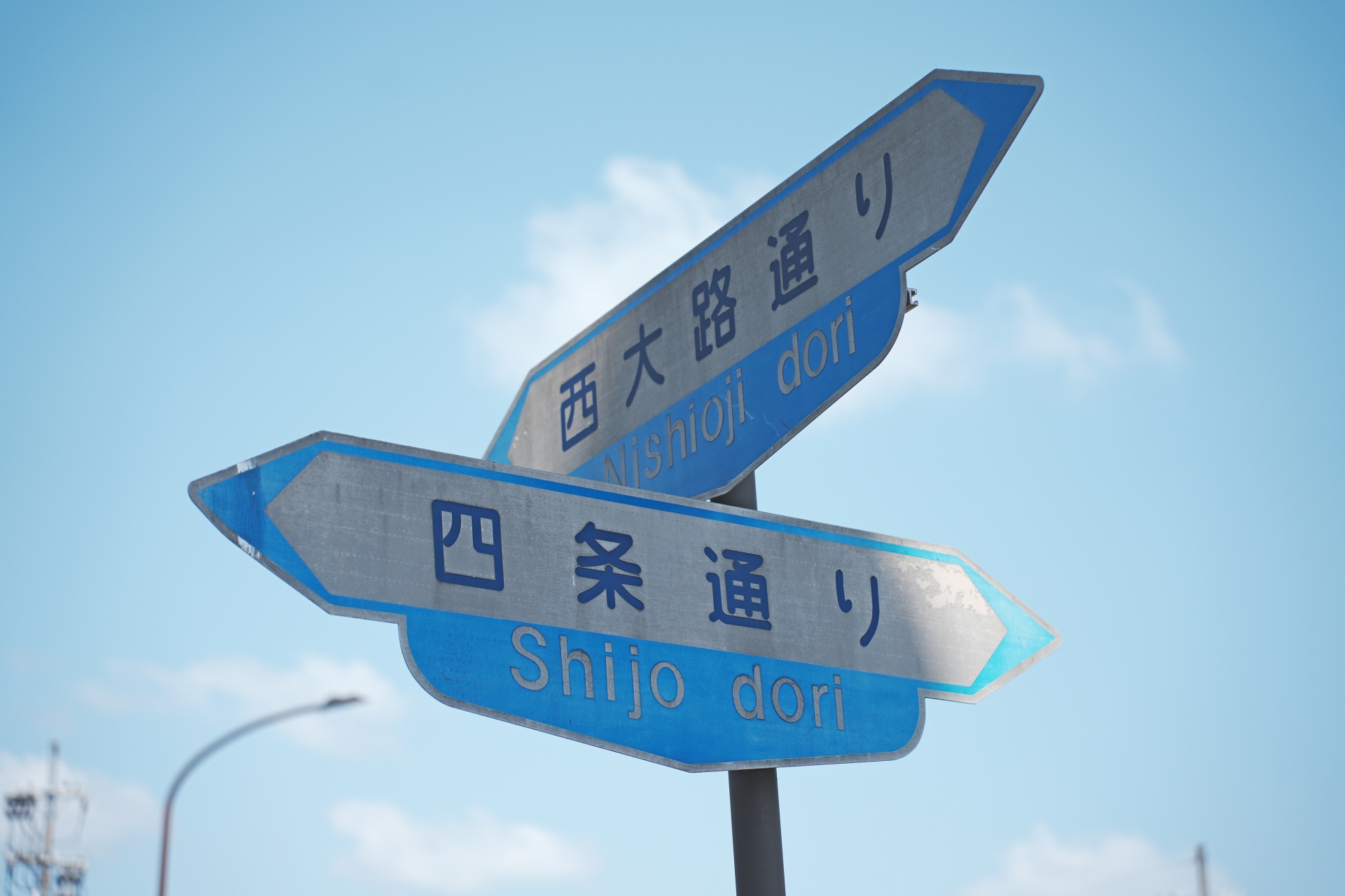
Kyoto Addresses: “Agaru / Sagaru” and “Higashi-iru / Nishi-iru”
In the late 10th century, each street was given a name, allowing people to specify locations based on which street and which part of the street something was located.
By the mid-17th century, the format combining the name of an east-west or north-south street and directional indicators like “○○-dori ○○-sagaru” was already in use.
First, the name of the street the destination faces is given.
Next, the name of the nearest intersecting street is shown (dropping “-dori”), and then the location’s direction from the intersection is indicated as:
“Agaru” (go up) when heading north
“Sagaru” (go down) when heading south
“Higashi-iru” when heading east
“Nishi-iru” when heading west
But why does “Agaru” mean going north?
This also comes from Heian-kyo: heading north was considered going “up” as one approached the Emperor (whose palace was at the north), while heading south (away) was “down”.
Unlike other Japanese cities where town names change every block, Kyoto’s central area has multiple town names within a single block because opposite sides of the street were divided into different “cho” (neighborhoods).
So for locals, using street names and directional indicators is more intuitive than relying on neighborhood names.
Examples
For locations on north-south streets
If on △△-dori, north of the intersection with ○○-dori → “△△-dori ○○-agaru”
If south of the same intersection → “△△-dori ○○-sagaru”
For locations on east-west streets
If on □□-dori, east of the intersection with ××-dori → “□□-dori ××-higashi-iru”
If west of the same intersection → “□□-dori ××-nishi-iru”
How Do Locals Remember It?
Kyoto’s central area, with neatly ordered vertical and horizontal streets like a Go board, can be confusing, with many similar roads and intersections.
That’s why locals have passed down a traditional “Kyoto Street Song” to remember them – a tune everyone from Kyoto can sing, though no one knows exactly where they first heard it.
There are about 30 north-south streets and 27 east-west streets.
Let’s learn them as children's songs!
You’ll Never Get Lost Again! East-West Street Song
♪ Marutake Ebisu ni Oshioike ♪
♪ Anesan Rokkaku Tako Nishiki ♪
♪ Shiya Buttakai Matsu Mangojō ♪
♪ Setta Charachara Uo no Tana ♪
♪ Rokujō Santetsu Tōrisugi ♪
♪ Hicchō Koereba Hakkujō ♪
♪ Jūjō Tōji de Todome Sasu ♪
You’ll Never Get Lost Again! North-South Street Song
♪ Tera Goko Fuya Tomi Yanagi Sakai ♪
♪ Taka Ai Higashi Kurumayachō ♪
♪ Karasu Ryōgae Mura Koromo ♪
♪ Shinmachi Kamanza Nishi Ogawa ♪
♪ Abura Samegaide Horikawa no Mizu ♪
♪ Yoshiya Inokuro Ōmiya e ♪
♪ Matsuhigurashi ni Chiekōin ♪
♪ Jōfuku Senbon Sate wa Nishijin ♪
Visit Popular Spots Using “Agaru / Sagaru”!
The foundation was laid during the building of Heian-kyo, and the grid was shaped by Hideyoshi—Kyoto's central district (called Rakuchū, mainly Kamigyō-ku, Nakagyō-ku, and Shimogyō-ku) is rich with history and culture.
It’s a very attractive area where ancient streetscapes coexist with modern urban life.
Why not walk to your favorite tourist destinations using the street names and directions, and feel the history along the way?
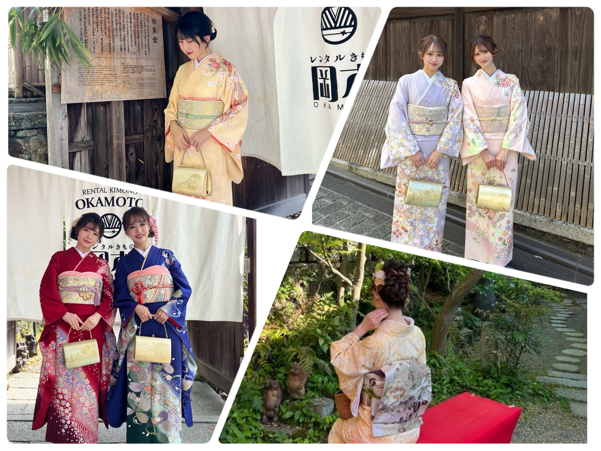
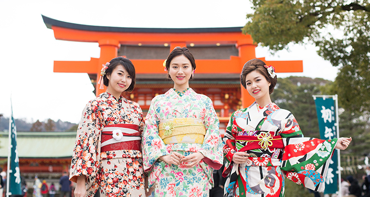
We look forward to seeing you at Rental Kimono Okamoto, produced by a 190-year-old traditional Kyoto shop.
Rental Kimono Okamoto – Fushimi Inari Branch
45-1 Inari Nakanochō, Fukakusa, Fushimi-ku, Kyoto 612-0807
TEL: 075-634-8900
Website: www.okamoto-kimono.com
Instagram: @rentalkimonookamoto
TikTok: @rentalkimono_okamoto
Facebook: Rental Kimono Okamoto
X (formerly Twitter): @okamotokimono
Lit.link: lit.link/rentalkimonookamoto