


special fearure・column
Did You Know? Kyoto’s Grid-Like Street Layout!
The Evolving “Grid of Kyoto”
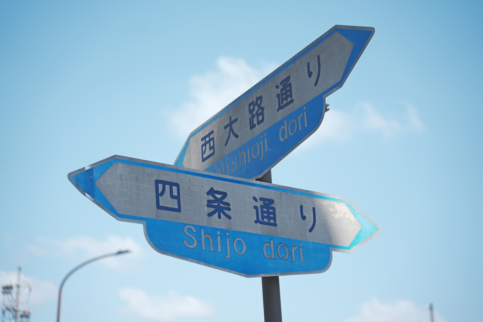
♪ Marutake Ebisu Oshioike~ ♪
Have you ever heard this little tune?
It’s a catchy mnemonic song used to remember the names of Kyoto’s streets!
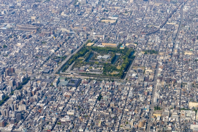
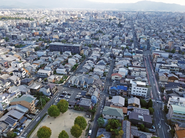
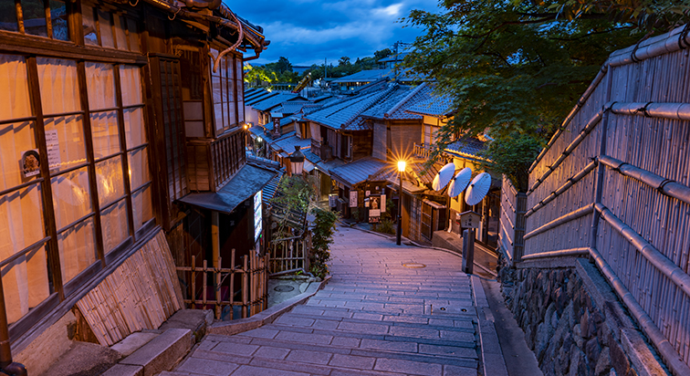
As you can see in the photo, Kyoto is famously laid out in a grid pattern, often compared to a go (Japanese chess) board.
Almost every street has its own name, and while the layout may seem complicated at first, once you learn the street names, it becomes surprisingly easy to find your way—even to famous sightseeing spots!
Heian-kyo
The Origins of Kyoto’s “Grid Pattern”
The grid-like layout of Kyoto’s city streets dates back to the year 794, when the ancient capital of Heian-kyo was first established.
This city planning system, known as the jōbō-sei (grid layout system), was modeled after Chang’an, the capital of Tang Dynasty China. At its heart was the grand Suzaku Avenue, which ran north to south through the center of the city.
The streets were then divided into a series of neatly arranged blocks: jō (streets running east-west) and bō (streets running north-south), creating a grid that resembled a go board.
To the north of the First Avenue (Ichijō), an additional section called Hokuhen was added, made up of eight smaller blocks.
The southern end of the city featured the grand Rashōmon Gate, serving as the main entrance to the capital, while the northern end was home to the Imperial Palace and the Daigokuden (Main Hall of State).
With Suzaku Avenue as the central axis, the city was symmetrically divided into Left Capital (east side) and Right Capital (west side).
This original grid spanned approximately 4.5 km from east to west and 5.2 km from north to south, covering a total area of about 23.4 square kilometers. Today, this area roughly corresponds to the modern region stretching from Teramachi Street in the east to Katsura-no-Oji Street in the west, and from Ichijō Street in the north to Kujō Street in the south.
Muromachi period
The Emergence of Square Town Blocks During the Muromachi period, residential plots began to change. While members of the imperial family and nobility lived on large estates that spanned more than one chō (town block), ordinary people lived within neatly defined squares. Each block measured approximately 120 meters per side, enclosed by streets on all four sides. These square blocks were divided into 4 parts from east to west and 8 parts from north to south, housing a total of 32 households per block.
Homes located along the streets had easy access to foot traffic, but those deeper inside the block had to use narrower alleys, called komichi (small lanes), to get in and out. The very center of these blocks, which didn’t face any street, often became unused open spaces.
As commerce developed, however, more and more buildings were constructed with their fronts facing the main roads, giving rise to the concept of "ryōgawa-machi" — towns formed along both sides of a single street. Unlike in the Heian period, where aristocratic homes were set back from the road, being located directly on the street became an advantage, especially for merchants and tradespeople.
Sengoku period
How Hideyoshi’s Urban Reform Reshaped Kyoto In 1590 (Tenshō 18), Toyotomi Hideyoshi dramatically transformed Kyoto’s city layout through a large-scale urban reform project.
His reorganization of the town blocks, or chōwari, covered the area stretching from Teramachi Street in the east to Ōmiya Street in the west, and from Marutamachi Street in the north to around Gojō Street in the south.
By constructing new roads and making more efficient use of land, he increased the number of narrow side streets and alleys.
As a result, the traditional square blocks of the Heian period—measuring roughly 120 meters on each side—were modified into rectangular blocks, measuring 120 meters from north to south and 60 meters from east to west. This change created new town units in what had previously been open or unused spaces.
This rectangular grid layout introduced by Hideyoshi remains visible in Kyoto today, forming the basis of the city’s iconic “go-ban no me” (grid pattern).
Interestingly, the area around Shijō-Karasuma, which had already developed into a bustling urban center before Hideyoshi’s reforms, was left untouched. Because no new streets were added there, this section of the city still retains the original square-shaped block layout from the Heian period.
Edo period
The Naming of “Tōri” (Streets) Throughout Kyoto
The use of the term “tōri” (meaning “street” or “avenue”) to name nearly all roads in Kyoto began in the late Sengoku period (late 16th century). During the transition from the Sengoku to the Azuchi-Momoyama period (also called the Oda-Toyotomi era), many new street names that are still used today were introduced and gradually became established by the early modern era.
In the Edo period, development advanced mainly along the west bank of the Kamo River (such as Kawaramachi-dōri and Kiyamachi-dōri) and the east bank (called Kamo-higashi).
Between the Meiji and Taisho eras, major expansions took place on roads including Karasuma-dōri, Senbon-dōri, Ōmiya-dōri, Higashioji-dōri, Marutamachi-dōri, Shijō-dōri, and Shichijō-dōri. Later, ring roads like Kitaōji-dōri, Nishioji-dōri, Kujō-dōri, and Higashioji-dōri, as well as main streets such as Kawaramachi-dōri, were widened. Alongside land readjustment projects, street development progressed in the outskirts of the city.
During World War II, buildings were forcibly removed to create firebreaks and improve firefighting access. In streets like Takatsuji-dōri and Chiekōin-dōri, new fire roads were constructed, while along Oike-dōri, Gojō-dōri, and Horikawa-dōri, large firebreak zones were formed through building demolitions. These cleared spaces were later used for road widening after the war.
How Do Kyoto Residents Remember the City’s Grid Pattern?
So, how do people who live in Kyoto remember the intricate go-ban no me (grid layout) of the city?
Here’s a look at the popular ways locals learn and recall Kyoto’s famously long and detailed street addresses.
Understanding Kyoto Addresses: “Agaru” & “Sagaru” and “Nishi-iru” & “Higashi-iru”
How Kyoto’s Street Names and Address System DevelopedIn the late 10th century, street names were assigned to each road, allowing people to identify the exact location of their destination simply by knowing which street and where on that street it was located.
The address system combining street names with directional indicators—such as the modern usage of expressions like “XX-dōri XX-agaru” (northward up) and “XX-dōri XX-sagaru” (southward down)—was already in use by the mid-17th century.
Here’s how it works:
First, the street the destination faces is named. Next, the nearest intersecting street is mentioned (dropping the “-dōri” suffix). Then, the position relative to that intersection is indicated by direction:
Moving north is expressed as “agaru” (上ル / 上る), meaning “to go up,”
Moving south as “sagaru” (下ル / 下る), meaning “to go down,”
Moving east as “higashi-iru” (東入), meaning “entering from the east,” and
Moving west as “nishi-iru” (西入), meaning “entering from the west.”
For example:
A place facing a north-south street called “△△-dōri,” located north of an east-west street “○○-dōri,” would be written as “△△-dōri ○○-agaru.”
If it’s south of “○○-dōri,” it would be “△△-dōri ○○-sagaru.”
Similarly, a location on an east-west street “□□-dōri,” east of a north-south street “××-dōri,” is “□□-dōri ××-higashi-iru,” and west of it is “□□-dōri ××-nishi-iru.”
But why is moving north called “agaru” (to go up)?
This traces back to Heian-kyo’s city design, where moving north meant heading toward the emperor’s official residence, regarded as “up,” while moving south meant going away from it, or “down.”
Unlike many Japanese towns where town names change across streets and blocks, Kyoto’s central area (the original planned city) had a unique system: blocks often contained multiple town names because homes and shops facing each other across the street belonged to different towns. Therefore, Kyoto residents find it easier to use street names combined with agaru/sagaru and higashi-iru/nishi-iru to identify locations rather than relying solely on town names.
How Does Everyone Remember It?
Navigating Kyoto’s Grid: The Traditional Street Counting Song in the heart of Kyoto, the streets are laid out in a precise grid pattern, running perfectly north-south and east-west—much like a go board. Because so many roads and intersections look alike, it can be difficult to tell exactly where you are within the grid.
To solve this, an old tradition was born: a street-counting song known and sung by locals for generations. No one knows exactly where the song originated, but every Kyoto resident can sing it.
This nursery rhyme helps people remember the names of 30 north-south streets and 27 east-west streets. By learning the streets through this catchy tune, it becomes much easier to navigate the city.
Never Get Lost Again!
The East-West Street Counting Song
The Traditional Kyoto East-West Street Counting Song ♪
This charming nursery rhyme helps locals remember the names of Kyoto’s east-west streets. Each phrase corresponds to a street name, making it easier to recall the order of the streets as you move through the city.
Here is an example of the song’s first stanza:
“Marutake Ebisu ni Oshioike,
Ane-san Rokkaku, Tako Nishiki,
Shia Yabuttaka, Matsu Man Gojō,
Settachara Chara, Uo no Tana,
Roku-jō San-tetsu, Tōri Sugi,
Hicchō Koereba, Hachikyū-jō,
Jūjō Tōji de Todome Sasu.”
By singing this song, Kyoto residents have long kept the names and order of the streets alive, making navigation easier and more memorable.
Never Get Lost Again!
The North-South Street Counting Song
The Traditional Kyoto North-South Street Counting Song ♪
This traditional song helps locals remember the names and order of Kyoto’s north-south streets. Each phrase corresponds to a street name, making it easier to navigate the city.
Here is an example stanza from the song:
“Teragoko, Fuya-tomi, Yanagisakai,
Takaai, Higashi, Kurumayachō,
Karasuryōgae, Muragoromo,
Shinmachi, Kamanzā, Nishiogawa,
Aburasamegai de, Horikawa no mizu,
Yoshiya Inokuro, Ōmiya e,
Matsuhigurashi ni, Chiekōin,
Jōfuku Senbon, Sate wa Nishijin.”
By singing this song, Kyoto residents keep the traditional street names alive, making it easier to find their way in the city’s grid.
Explore Popular Spots Using “Agaru” and “Sagaru” Directions!
The heart of Kyoto’s grid-patterned city—known as Rakuchū—was first laid out during the planning of Heian-kyo and later shaped into its current form by Toyotomi Hideyoshi. This central area, mainly encompassing the Kamigyo, Nakagyo, and Shimogyo wards, is rich in history and culture.
Here, famous temples, shrines, and landmarks gather, creating a captivating blend of traditional streetscapes and modern urban life. Why not explore these popular sightseeing spots while experiencing Kyoto’s unique address system using street names combined with “Agaru” (up), “Sagaru” (down), “Nishi-iru” (enter west), and “Higashi-iru” (enter east)?
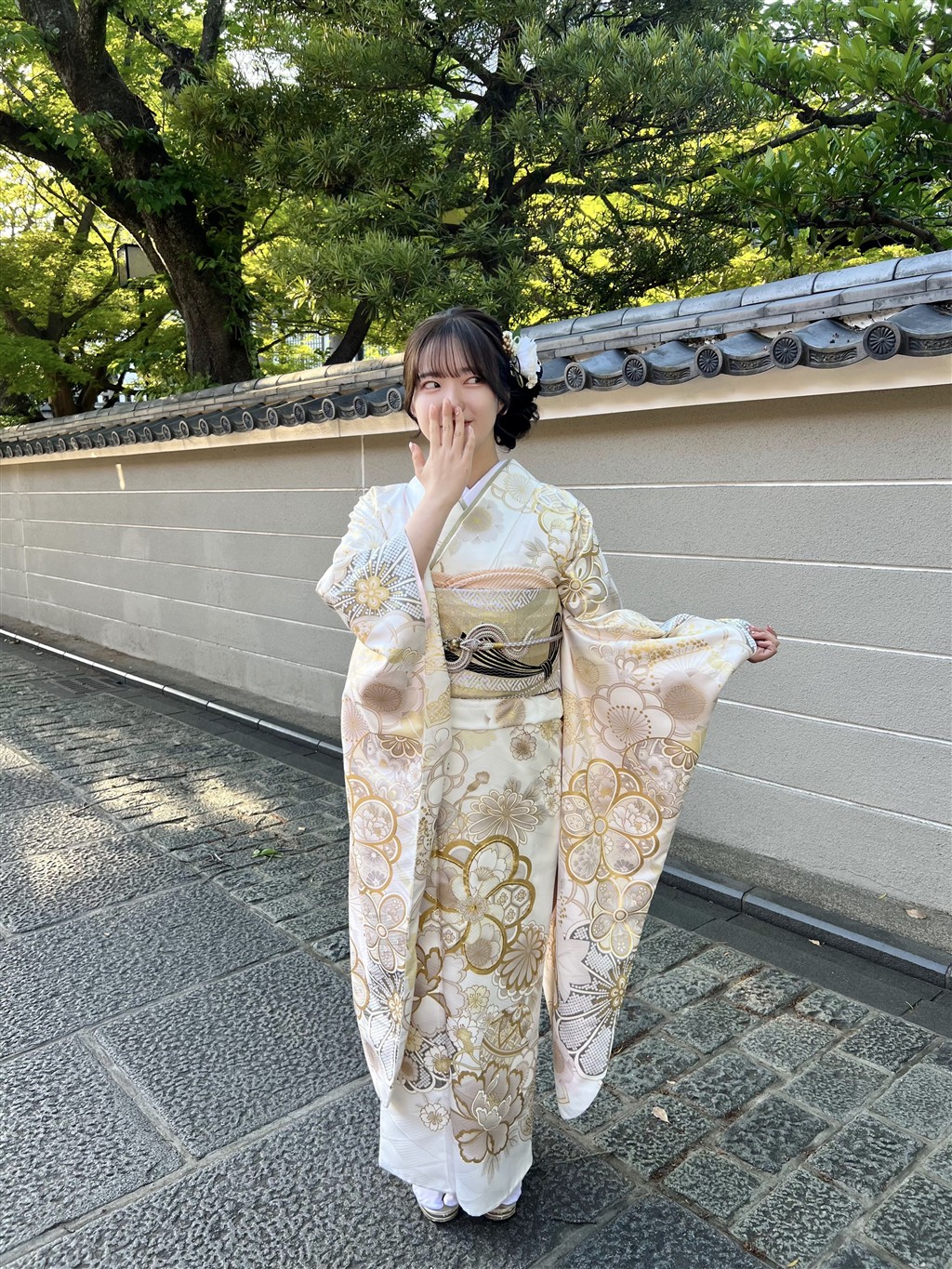
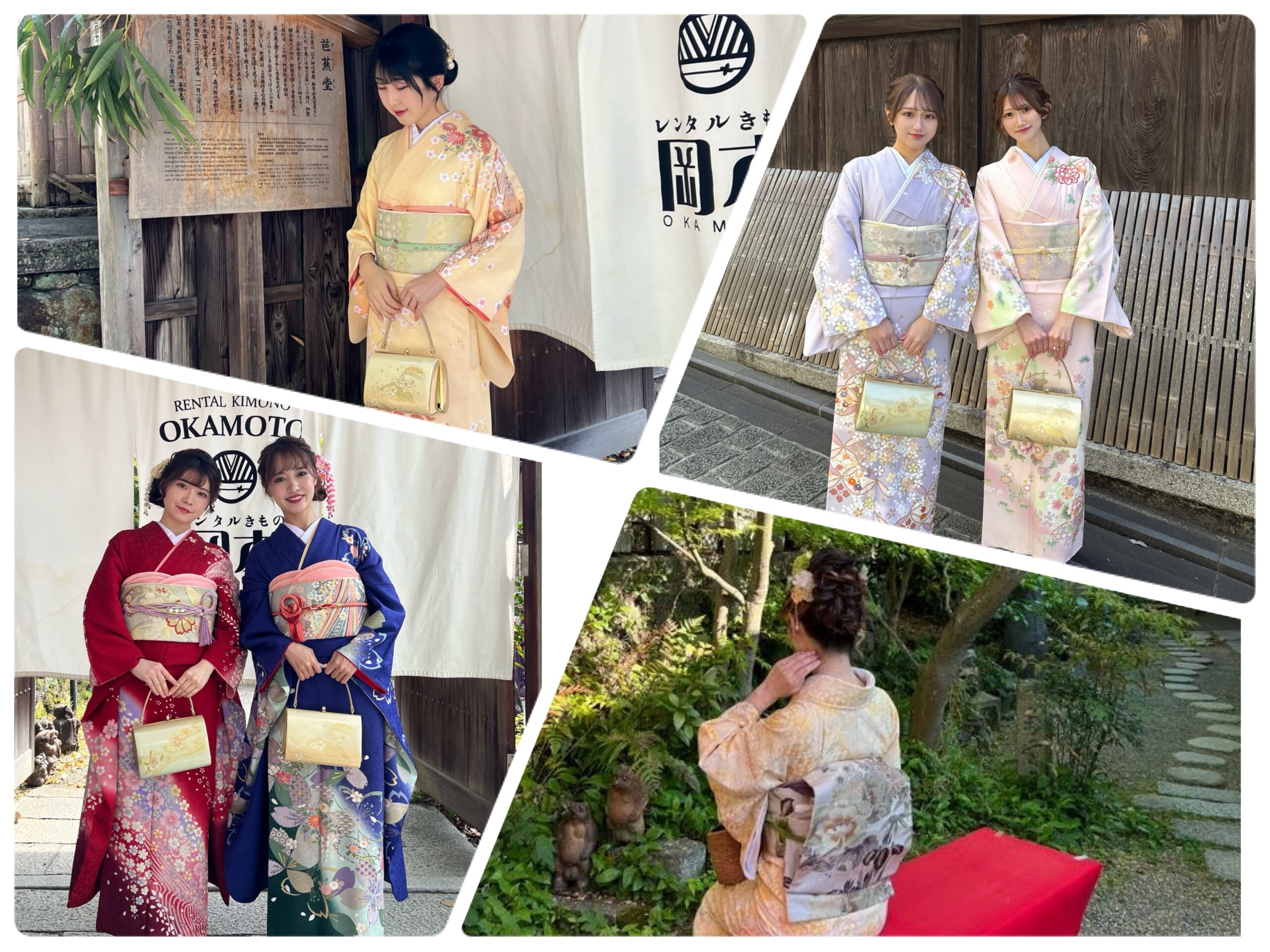
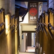
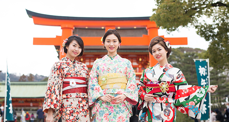
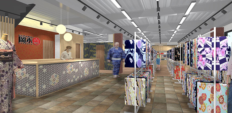
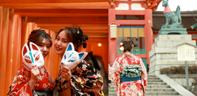
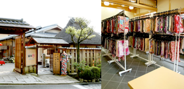
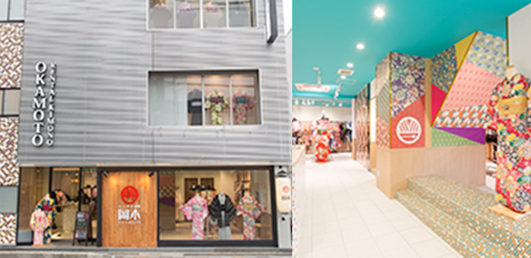
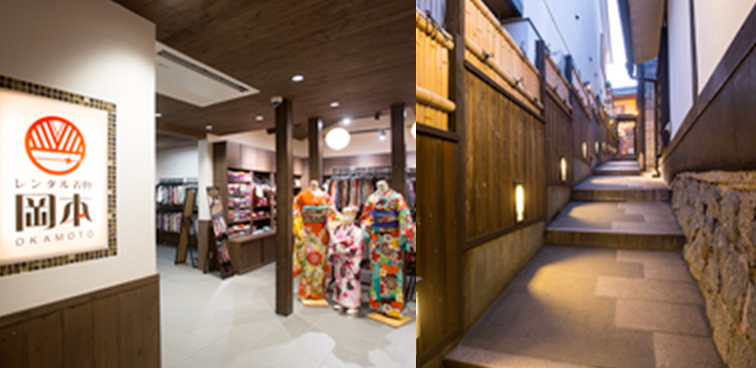
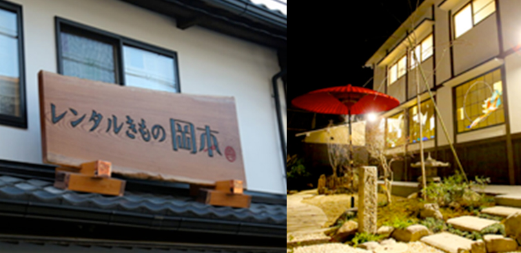
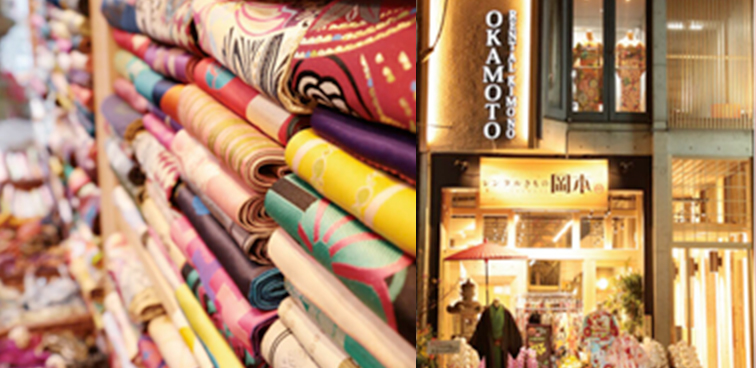
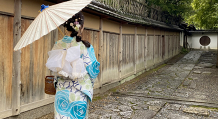
We look forward to welcoming you at Rental Kimono Okamoto, a long-established kimono rental shop with over 190 years of history.
Rental Kimono Okamoto – Fushimi Inari Branch
45-1 Fukakusa Inarinakanomachi, Fushimi-ku, Kyoto City, Kyoto 612-0807, Japan
TEL: +81-75-634-8900
Website: www.okamoto-kimono.com
Instagram: @rentalkimonookamoto
TikTok: @rentalkimono_okamoto
Facebook: Rental Kimono Okamoto
X (formerly Twitter): @okamotokimono
Lit.link: lit.link/rentalkimonookamoto


Arashiyama Shop
48-4 Saga Tenryuji Kitatsukurimichicho, Ukyo-ku, Kyoto 616-8374, Japan
Phone: +81-75-950-0805 / Fax: +81-75-950-0806 / E-mail: arashiyama@okamoto-kimono.com
Nearest Station: Arashiyama (Randen Line) / JR Saga-Arashiyama Station
Rental Kimono Okamoto - Fushimi Inari shop
45-1, Fukakusa Inarinakanocho, Kyoto Shi Fushimi Ku, Kyoto Fu, 612-0807, Japan
Tel. +81-75-634-8900 / FAX +81-75-634-8901 / E-mail E-mail fushimiinari@okamoto-kimono.com
Nearest Station: JR Inari Station / Keihan Fushimi Inari Station
Rental Kimono Okamoto Gion Shop
523 Washiocho, Higashiyama-ku, Kyoto 605-0072
Tel. +81-75-531-7890 / FAX +81-75-531-8383 / E-mail gion@okamoto-kimono.com
Nearest stop: City Bus Gion Stop
Rental Kimono Okamoto Kiyomizu Higashiyama Shop
110-9 Tatsumicho, Higashiyama-ku, Kyoto 605-0855
Tel. +81-75-533-8900 / FAX +81-75-533-8910 / E-mail kiyomizuhigasiyama@okamoto-kimono.com
Nearest stop: City Bus Kiyomizumichi stop
Rental Kimono Okamoto Kiyomizu Shop
2-237-1-1 Kiyomizu, Higashiyama-ku, Kyoto 605-0862
Tel. +81-75-525-7115 / FAX +81-75-533-8960 / E-mail kiyomizuzaka@okamoto-kimono.com
Nearest stop: City Bus Kiyomizumichi stop
Rental Kimono Okamoto Main Shop
6-546-8 Gojohashihigashi, Kyoto Higashiyama-ku, Kyoto 605-0846
Tel. +81-75-532-1320 /Fax +81-75-532-1480 / E-mail honten@okamoto-kimono.com
Nearest stop: City Bus Gojozaka Stop
Rental Kimono Okamoto Yasaka Jinja Shop
301-1 Gioncho, Higashiyama-ku, Kyoto 605-0073
Tel. +81-75-532-0510 / FAX +81-75-532-0511 / E-mail yasakajinja@okamoto-kimono.com
Nearest stop: City Bus Gion Stop
You can read articles about various information on Kyoto.
Our kyoto resident staffs post articles about history, sightseeing, regional information of Kyoto. You may enjoy sightseeing even more by deepening your knowledge through this article.
More articles introducing the area around the shop are available here.
Please refer to our articles about famous tourist spots, hidden spots, and the latest information on stores in Kyoto. It is updated by our staffs who are familiar with the area.